Difficulty:
Relatively Easy
Duration:
7 days
Scenery:
Good
Traffic:
Low

Key Facts
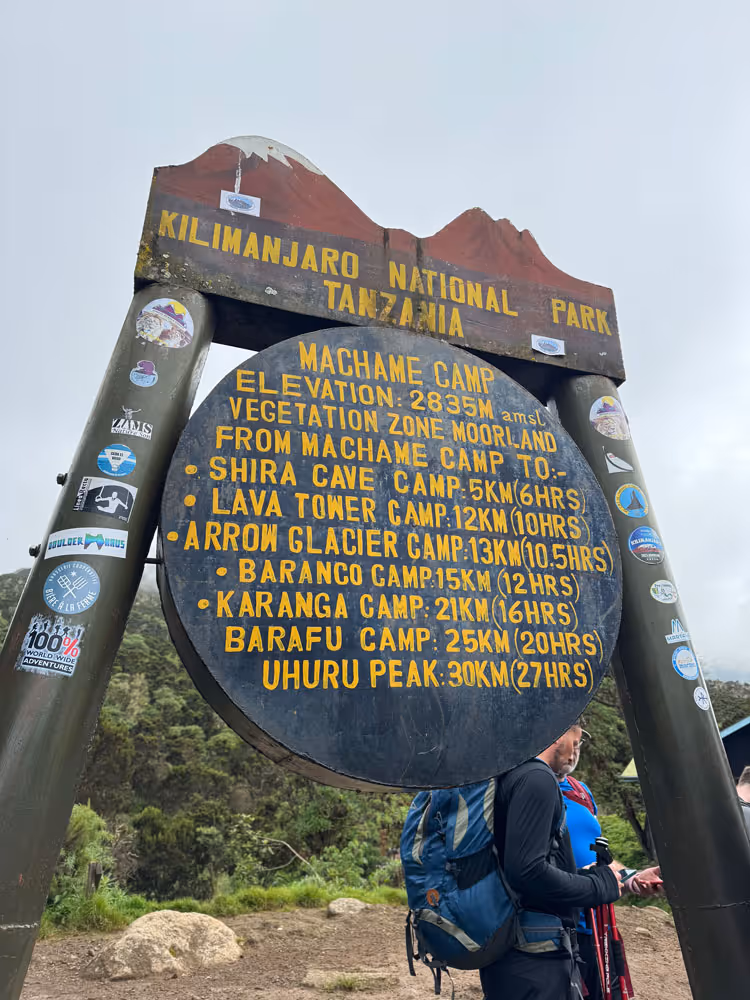
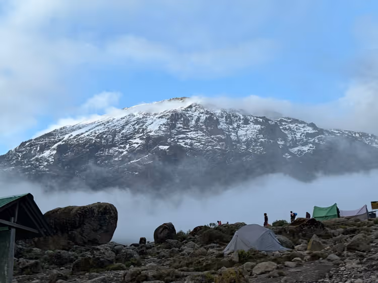
The Rongai route is the only route that approaches Kilimanjaro from the north, close to the Kenyan border. Though gaining popularity amongst climbers, the Rongai route still experiences low traffic.
Rongai is the preferred route for those looking for an alternative to the crowded Marangu route, for those who would like a more remote hike, and for those who are climbing during the rainy season (the north side receives less precipitation).
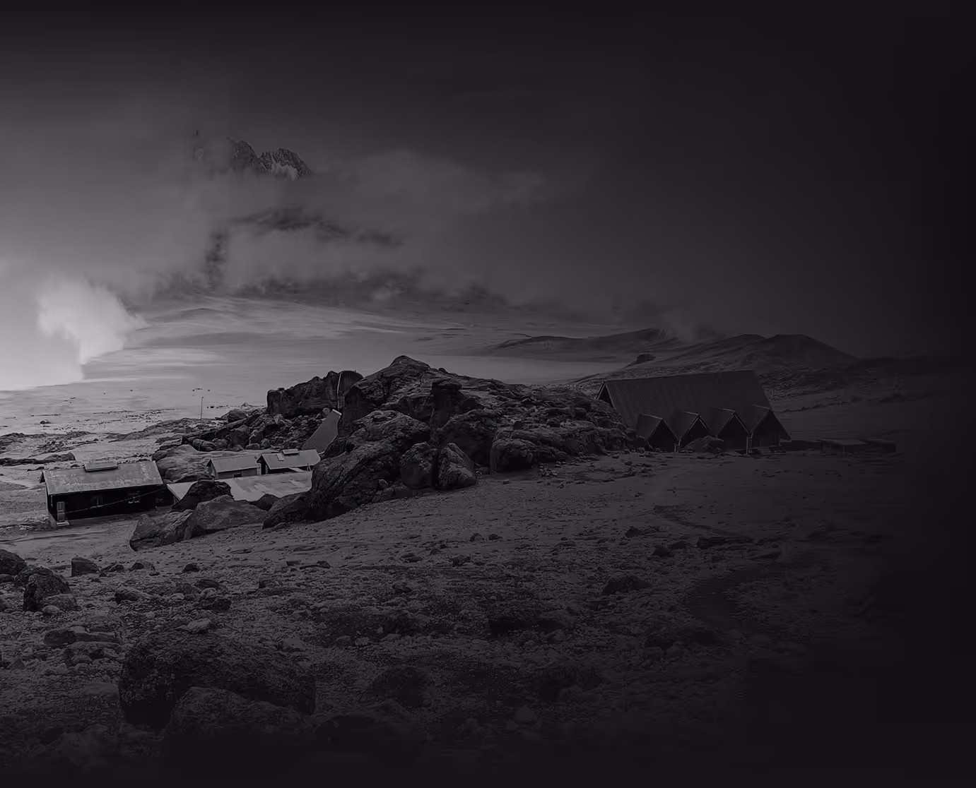
QUIET NORTHERN APPROACH WITH TENTED CAMPS
The Rongai Route is the only trail that approaches Kilimanjaro from the north, near the Kenyan border. It offers a quieter and more remote experience, with trekkers sleeping in tents at designated campsites throughout the climb.
STEADY ASCENT ON A LESS-TRAVELLED PATH
Rongai follows a consistent and gradual ascent, making it one of the easier routes in terms of terrain. The path is well-defined but far less busy than southern approaches, providing a more peaceful trekking experience.
DRY CLIMATE AND UNIQUE VIEWS
Starting in dry savannah woodland rather than rainforest, Rongai offers a different side of Kilimanjaro. The route joins the Marangu path near Kibo Hut, giving climbers dramatic views of Mawenzi and a unique perspective of the mountain’s landscape.
MODERATE ITINERARY WITH LIMITED ACCLIMATISATION
With a shorter duration than some other routes, Rongai provides less time for acclimatisation, though an extra day can be added. The steady incline does help with altitude adjustment, making it a suitable choice for fit trekkers seeking a quieter path.
UNDERRATED AND RELIABLE OPTION
Rongai is often overlooked, yet it remains a reliable route with good summit success rates for those well-prepared. Its remote feel, drier conditions, and gentle terrain make it a solid choice for those seeking a more tranquil climb.


Select your itinerary
The essentials
Pre climb
Arrival and briefing
Distance: 12 km
Trek time: 6–7 hours
Zone: Semi-desert
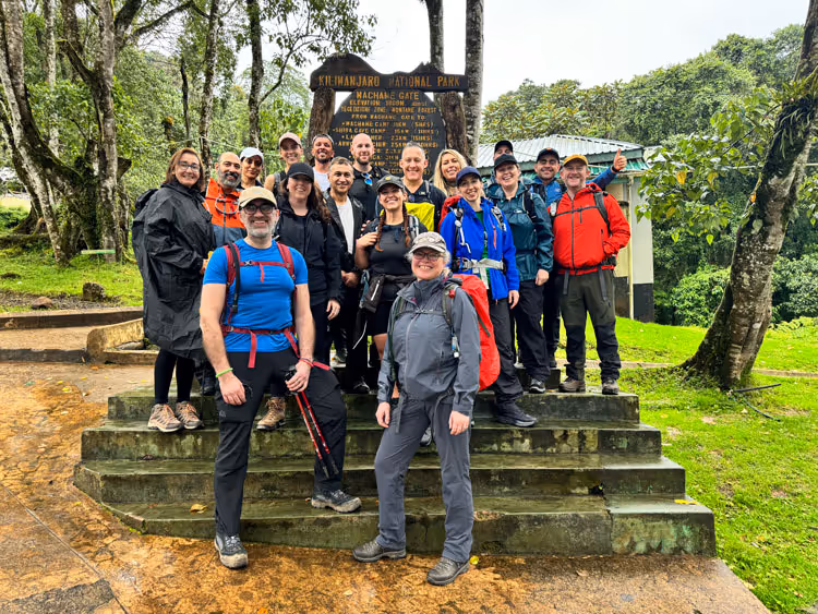
Upon landing in Tanzania you will come out of the airport and Uncharted Summits representatives will be waiting for you. The next 2 days is about relaxation and ensuring you start to focus on the start of your transformational journey up to the roof of Africa. We will have a full safety and mountain briefing, any final questions you may have or wish to ask and then its go time.
Day 1
Nalemoru Gate to Simba Camp
Elevation: 1,800m to 2,600m
Distance: 2-3 hours | Habitat: Forest to Moorland
Elevation: 1,800m to 2,600m
Distance: 7 km
Trek time: 2-3 hours
Zone: Forest to Moorland
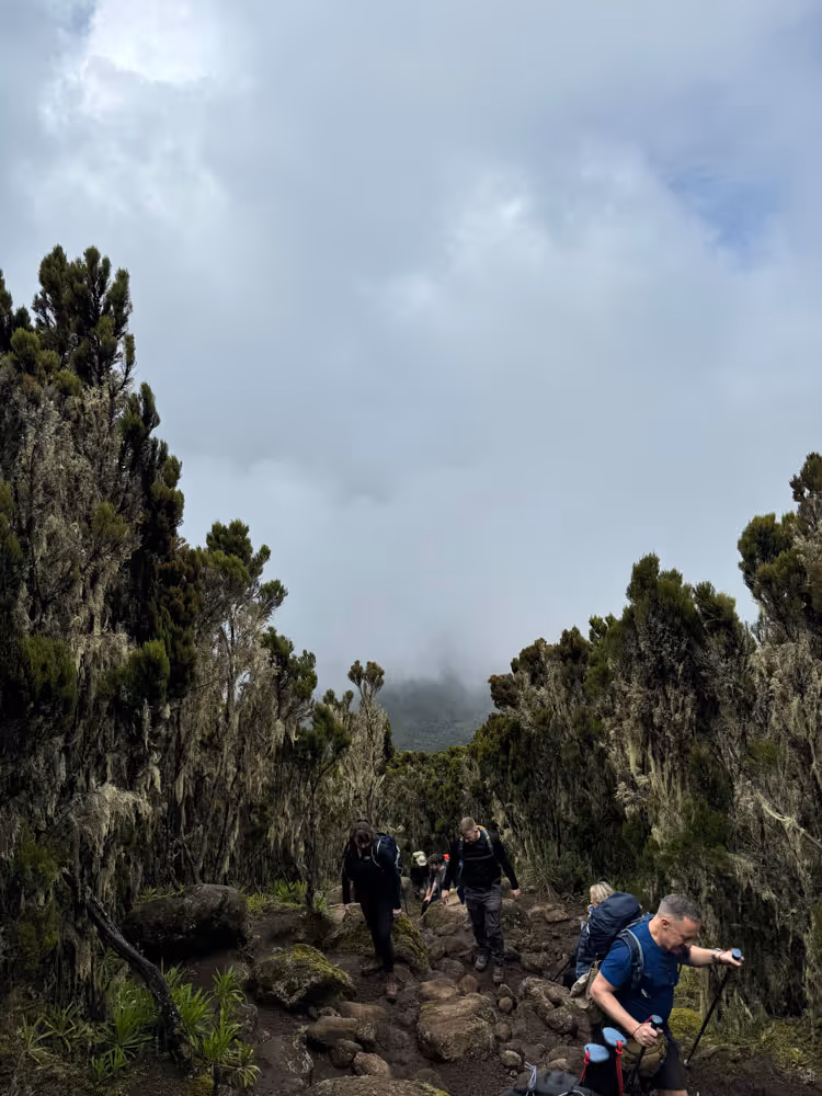
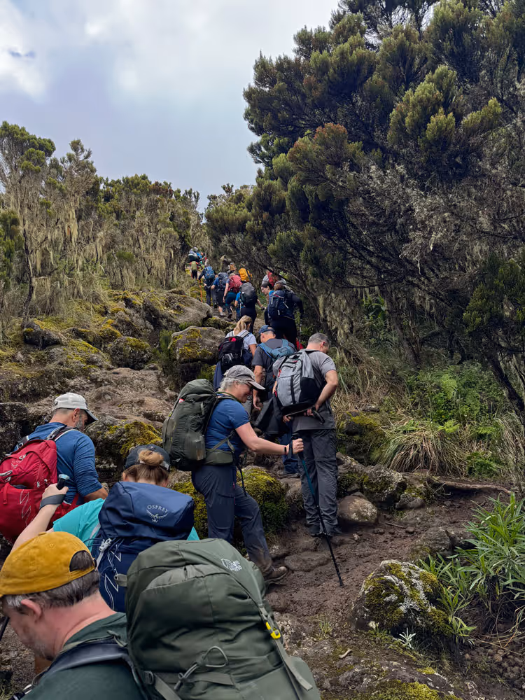
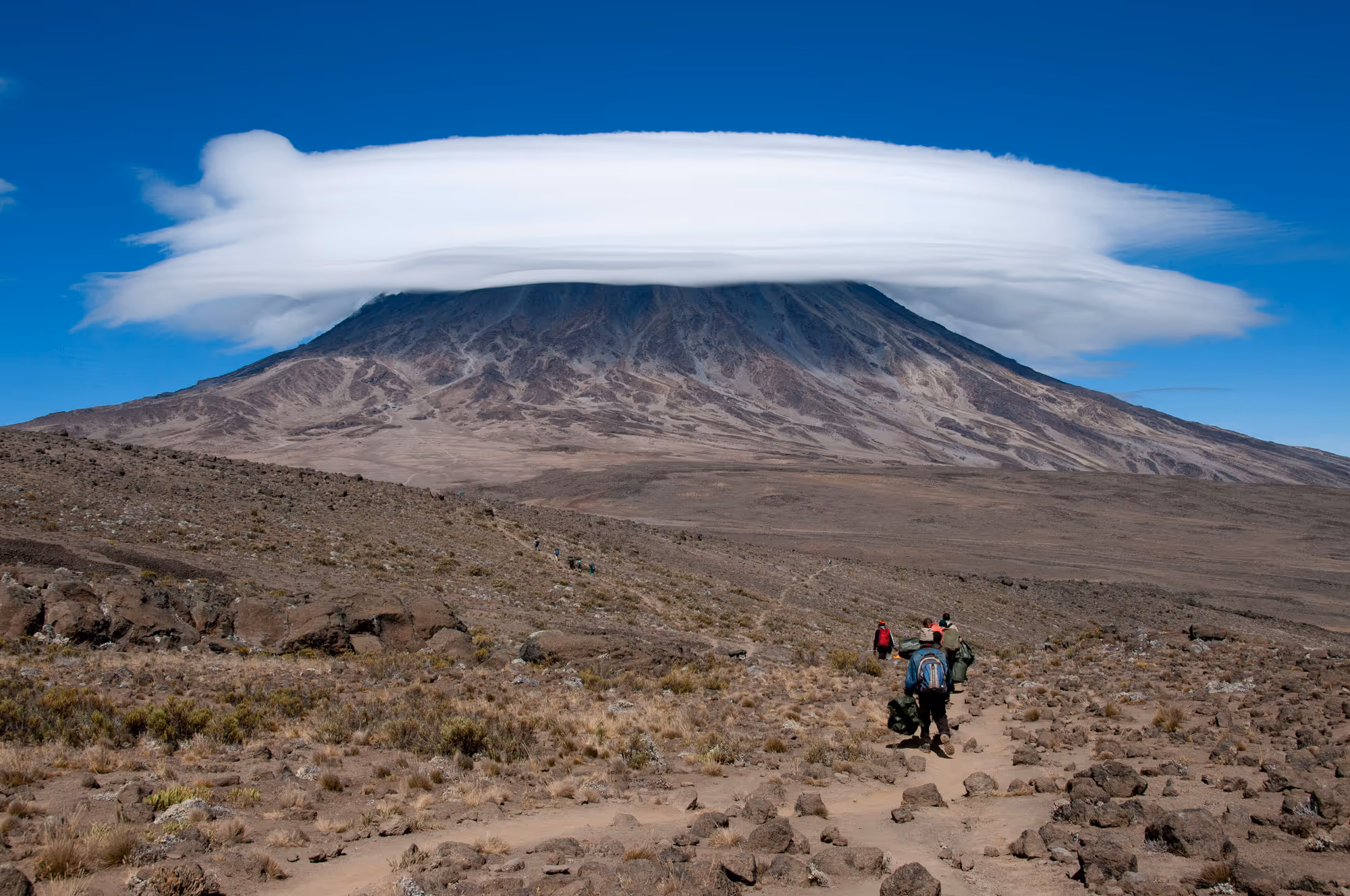
After breakfast, transfer to Rongai (Nalemoru) Gate at 1,800m near the Kenya border. The climb starts gently through untouched forest with sightings of local wildlife. The trail gradually leads into the moorland zone, where Simba Camp sits at 2,600m with panoramic views of the Kenyan plains. The hike today is a half-day walk, about 2-3 hours.
Day 2
Simba Camp to Kikelewa Camp
Elevation: 2,600m to 3,600m
Distance: 5-6 hours | Habitat: Moorland
Elevation: 2,600m to 3,600m
Distance: 10 km
Trek time: 5–6 hours
Zone: Moorland
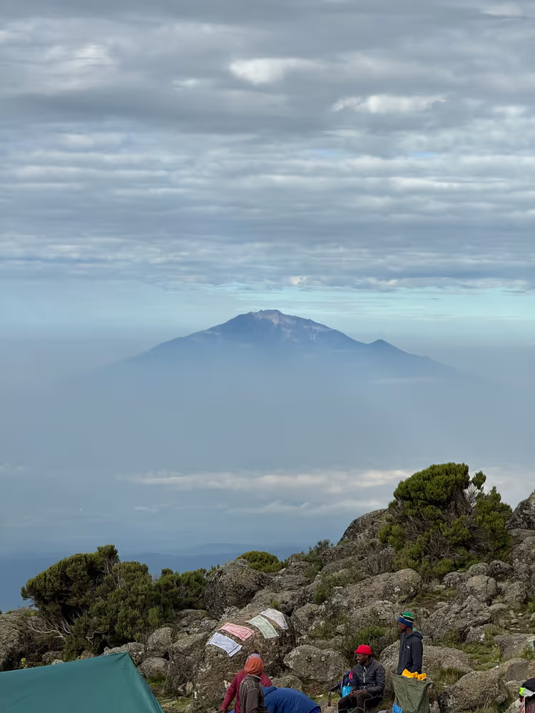
The trail ascends gradually through open moorland with stunning views of Mawenzi Peak. Stop for lunch at Second Cave (3,450m) before continuing to Kikelewa Camp at 3,600m. Enjoy spectacular views of Kibo and the Eastern ice fields. Arrive at Kikelewa in the late afternoon for dinner and an overnight stay.
Day 3
Kikelewa Camp to Mawenzi Turn Hut
Elevation: 3,600m to 4,330m
Distance: 3-4 hours | Habitat: Alpine Desert
Elevation: 3,600m to 4,330m
Distance: 6 km
Trek time: 3–4 hours
Zone: Alpine Desert
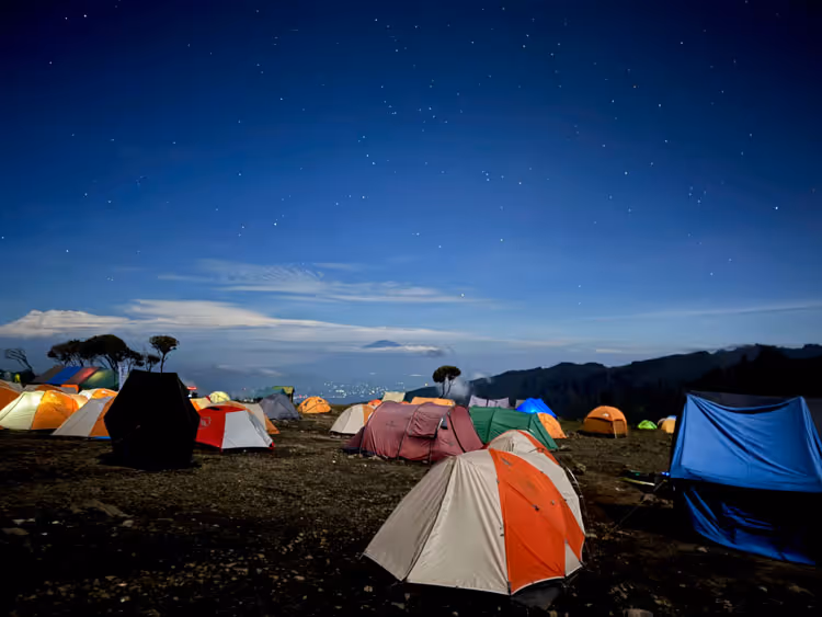
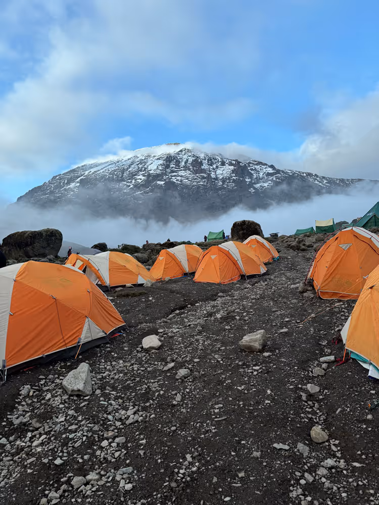
Today’s climb is short but steep as you ascend to Mawenzi Turn Hut at 4,330m. The landscape becomes more barren as vegetation fades away. Arrive in the afternoon and rest at Mawenzi Turn Hut.
Day 4
Acclimatization Day at Mawenzi Turn Hut
Elevation: N/A
Distance: N/A
Elevation: N/A
Distance: N/A
Trek time: N/A
Zone: Mawenzi Turn
Take a day to acclimatize to the high altitude. Optional acclimatization trek to Mawenzi Ridge is available. Enjoy the stunning surroundings and rest well for the upcoming stages. Meals and overnight stay at Mawenzi Turn Hut.
Day 5
Mawenzi Turn Hut to Kibo Hut
Elevation: 4,330m to 4,750m
Distance: 4-5 hours | Habitat: Lunar Desert
Elevation: 4,330m to 4,750m
Distance: 12 km
Trek time: 4-5 hours
Zone: Alpine desert
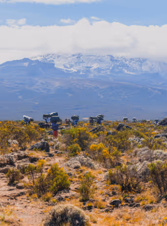
Cross the saddle, a barren desert between Mawenzi and Kibo, to reach Kibo Hut at 4,750m by early afternoon. The remainder of the day is spent relaxing and preparing for the summit attempt. There is no running water at Kibo Hut, so bring sufficient water for the night.
Day 6
Kibo Hut to Uhuru Peak to Horombo Hut
Elevation: 4,750m to 5,895m (Uhuru Peak) to 3,720m
Distance: 13-15 hours | Habitat: Arctic
Elevation: 4,750m to 5,895m (Uhuru Peak) to 3,720m
Distance: 6 km up 16km down
Trek time: 13-15 hours
Zone: Arctic to Moorland
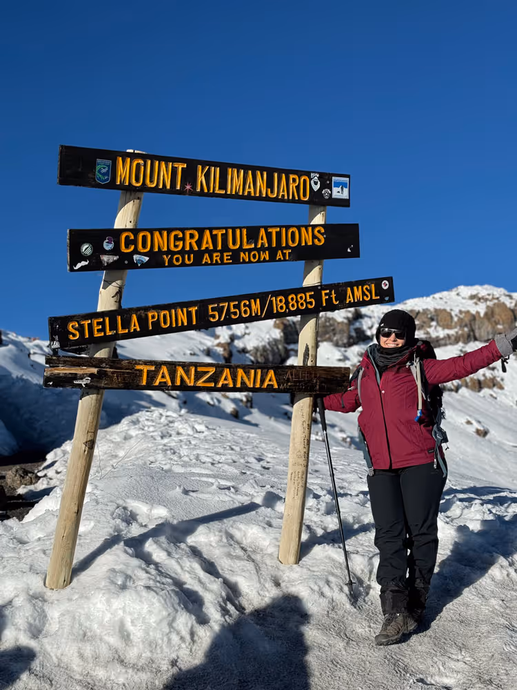
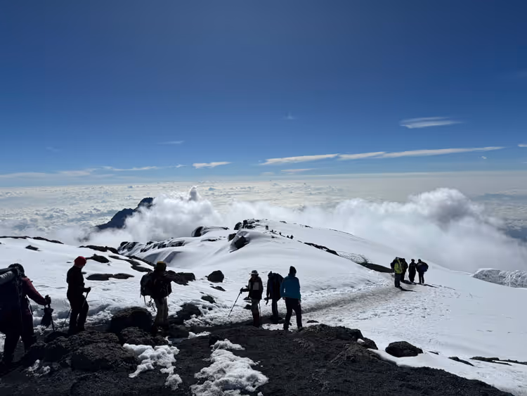
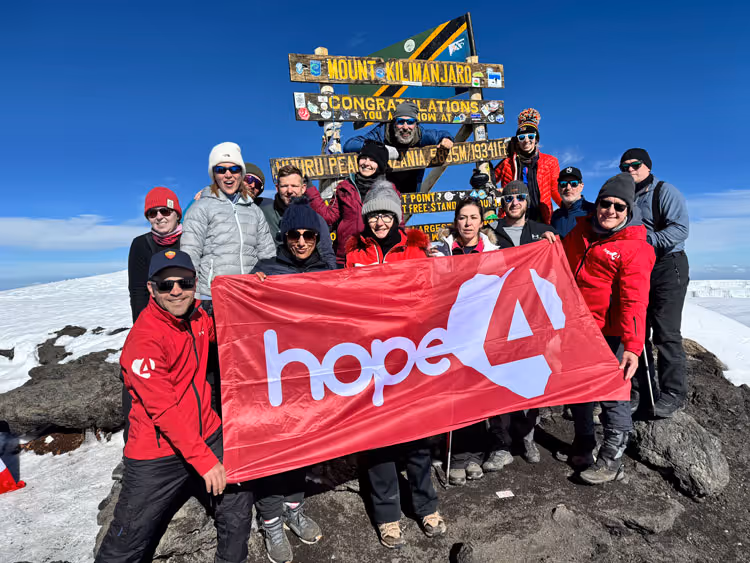
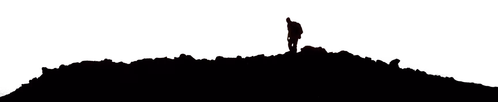
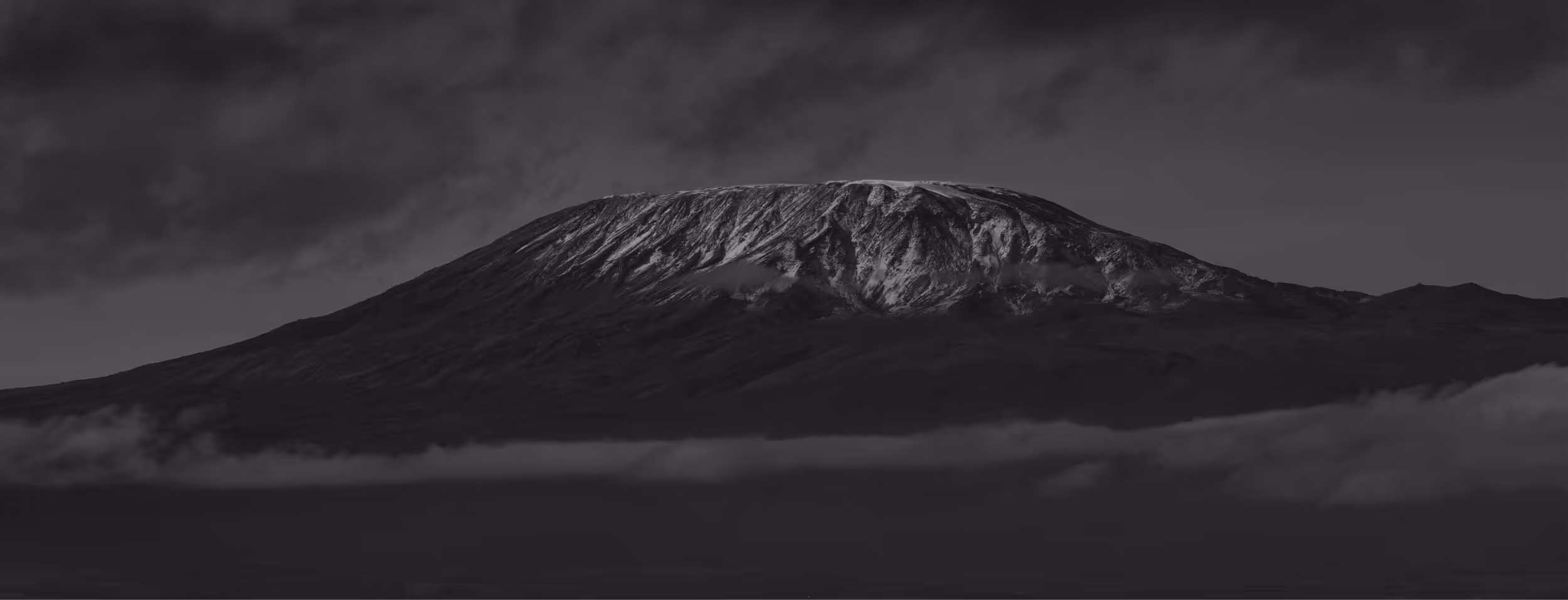
Wake up before midnight to begin the summit attempt. The climb is steep and gradual, reaching Gillman’s Point on the crater rim at 5,685m by sunrise. For those feeling strong, continue the final stretch to Uhuru Peak (5,895m), the highest point in Africa. After brief celebrations, descend to Kibo Hut, then continue down to Horombo Hut for an overnight rest.
Day 7
Horombo Hut to Marangu Gate
Elevation: 3,720m to 1,800m
Distance: 6-7 hours | Habitat: Rainforest
Elevation: 3,720m to 1,800m
Distance: 20 km
Trek time: 6–7 hours
Zone: Rainforest
Descend from Horombo Hut, passing Mandara Hut before reaching Marangu Gate. Once at the gate, you’ll receive your summit certificates. A transfer will take you back to your hotel in Moshi or Arusha for a well-deserved celebration, dinner, and overnight stay. Alternatively, you may be transferred to JRO for departure.
Post Climb
Celebration and departure
Distance: 12 km
Trek time: 6–7 hours
Zone: Semi-desert
Celebrate your incredible achievement! After a quiet, reflective bus ride and the best shower of your life, it’s time to come together, receive your summit certificates, and party the night away. The Uncharted Summits team will ensure smooth departures—whether you’re heading home or on to a safari or Zanzibar. Your transformational journey in Tanzania may be ending, but its impact continues long after you return home.